A timely lesson from canyon country
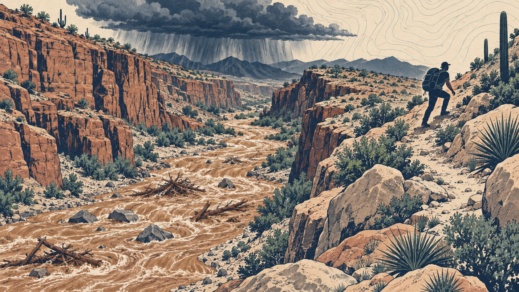
Recent events show why a dry trail is not proof of a safe drainage. On August 29, 2026, a destructive flash flood damaged trails, bridges, utilities, and facilities in Grand Canyon’s inner canyon. The National Park Service expanded closures on September 3 and reported continuing recovery work on September 8. The useful lesson is about conditions rather than spectacle: flood risk can alter both the route underfoot and the infrastructure a hiker expected to use.
Current National Park Service guidance for Zion, Bryce Canyon, Canyonlands, and Capitol Reef repeats three themes. Check the forecast and local flood potential, stay out of narrow canyons when storms threaten, and move to higher ground at the first warning signs. NOAA explains why the danger can be hard to recognize: intense rain upstream can funnel into canyons, washes, gullies, and small streams where skies may still look harmless.
Make the go-or-no-go decision at the trailhead
- Check the exact drainage. Review the National Weather Service forecast, watches and warnings, park alerts, road closures, and ranger updates. A regional “chance of rain” is less useful than information for the watershed and route.
- Trace the water. On the map, identify canyons, washes, creek crossings, floodplains, recent burn areas, and narrow sections without a quick exit. Ask where water falling upstream would travel.
- Name the escape terrain. Identify reachable higher ground before entering a confined section. A steep cliff is high but may not be accessible. An escape route needs stable footing and enough time.
- Set a conservative turnaround trigger. A flood watch means flooding is possible and conditions require close attention. A flash flood warning means flooding is imminent or already occurring; move to higher ground immediately.
Do not enter a narrow canyon because the storm appears distant, because other hikers continue, or because the reservation was difficult to obtain. The National Park Service notes that flash-flood water can travel many miles. Your location may receive the water long after and far from the cloud that produced it.
Treat these changes as reasons to leave
Zion National Park lists practical warning signs: deteriorating weather, building clouds, thunder, a sudden change from clear to muddy water, floating debris, a rising level or stronger current, and an increasing roar upstream. Any one of these deserves immediate attention. Several together demand action.
A dry wash can change quickly. So can a familiar creek. NOAA notes that flash floods combine speed with destructive force and can carry debris. Recent fires can worsen debris-flow risk because burned slopes shed water, sediment, rocks, and wood differently from intact ground.
Move up, away, and out of the flow path
- Climb toward stable higher ground using the nearest practical escape route.
- Move away from the drainage, wash, channel, or creek rather than following it downstream.
- Keep the group together and account for every person, but do not form a human chain in moving water.
- Do not cross floodwater. The channel bed, road, or trail underneath may already be damaged or missing.
- Call 911 or the local emergency number when rescue is needed. Give your location, group condition, visible landmarks, and the direction you moved.
Six inches is not a safe crossing rule. National Park Service and National Weather Service guidance warns that roughly six inches of fast-moving water can knock a person down. Depth is also difficult to judge in muddy water, and current, footing, debris, cold, and pack weight compound the hazard.
Stay high and reassess
Do not descend as soon as rain stops. Zion advises that it may take hours for water to recede. Additional surges, debris, unstable banks, damaged bridges, and washed-out trail can remain. Continue monitoring official information and wait for clear instructions when rescuers or rangers are involved.
If the planned exit is damaged, stop and make a new plan from a safe location. Use the principles in our lost-person guide to preserve your position and our signaling guide to make contact without wasting energy. Thunder also creates a separate hazard; review the lightning shelter guide before canyon travel.
Practice drill: find two exits before you descend
Choose a familiar trail map at home. Mark every place the route enters or crosses a drainage. For each confined section, identify the nearest reachable higher ground and a turnaround point before that escape disappears. Then check the current forecast and park alerts as though you were leaving today. The drill trains the decision that matters most: recognizing when the route should change before water arrives.
Sources and further reading
- National Park Service, Grand Canyon Expands Inner Canyon Closures Following August 29 Flash Flood, September 3, 2026.
- National Park Service, Grand Canyon Recovery and Repair Plan, September 8, 2026.
- Zion National Park, Flash Floods, updated May 15, 2026.
- Bryce Canyon National Park, Discover Cool, Safe Summer Adventures, August 10, 2026.
- National Weather Service, Flooding Safety and Preparedness for Outdoor Activities.
- NOAA National Severe Storms Laboratory, Flood Basics.
Conditions change quickly. This guide is educational and does not replace current warnings, closures, ranger instructions, emergency dispatch, or professional training.